Discover la Haute vallée de la Bièvre
WELCOME TO THE CLASSIFIED SITE OF THE UPPER VALLEY OF THE BIÈVRE!
Everything is in place for you to have a great time! Relax and unwind!
Enjoy the fresh air, the wonders of nature, a quiet corner in the Paris region.
GEOGRAPHICAL LOCATION
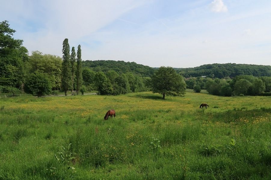
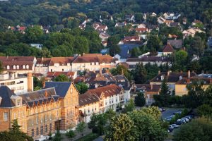
Located only 15 kilometers from Paris, the Upper Bièvre Valley is an area protected by the forests on its slopes, between the Vélizy plateau on one side and the Saclay plateau on the other.
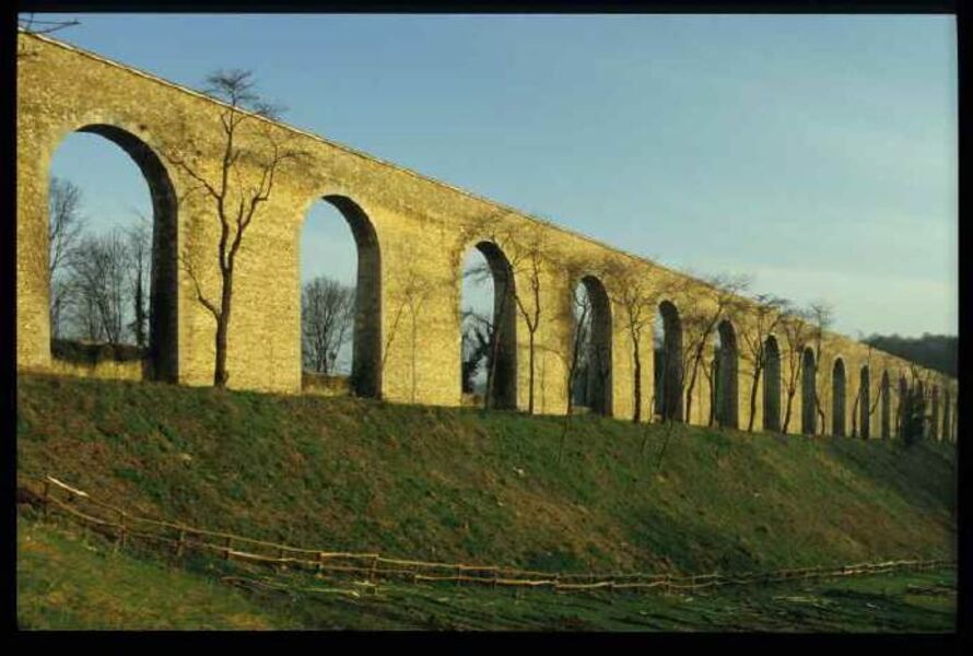
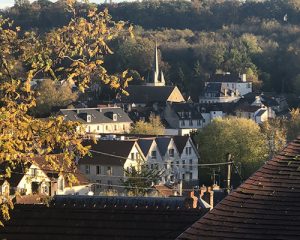
© Jouy-en-Josas tourist office 
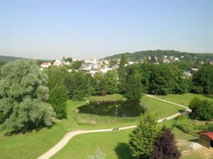
© Jouy-en-Josas tourist office 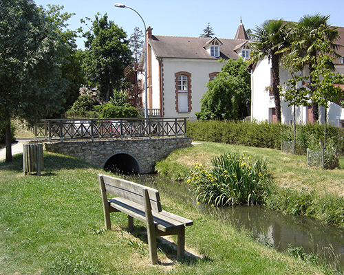
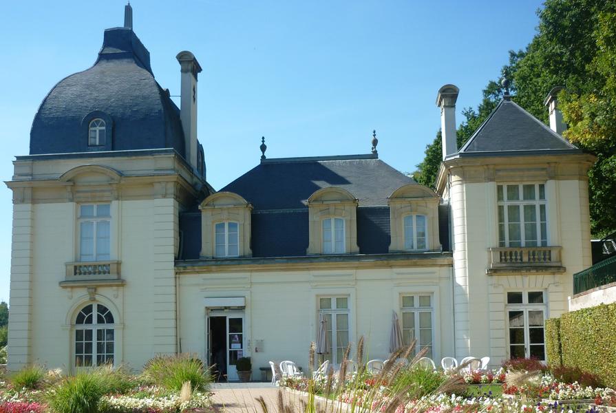
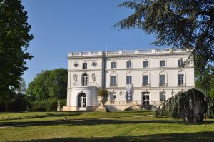
City of Verrières-le-Buisson
The Bièvre is a 35-kilometer-long river, which rises at the Etangs de la Minière in Guyancourt and which, after crossing the departments of Yvelines, Essonne, Hauts-de-Seine and Val-de-Marne, flows into the Seine in Paris.
The Upper Bièvre Valley (HVB) corresponds to the upstream section of the river, from Guyancourt to Massy.
It extends over 2 departments (Yvelines and Essonne), 3 agglomeration communities (Saint-Quentin-en-Yvelines, Versailles Grand Parc, Paris-Saclay) and crosses 11 municipalities:
- Guyancourt
- Buc
- Les Loges-en-Josas
- Jouy-en-Josas
- Toussus-le-Noble (crossed by the ru Saint-Marc)
- Bièvres
- Igny
- Vauhallan (crossed by the ru de Vauhallan)
- Saclay (crossed by the ru de Vauhallan)
- Verrières-le-Buisson
- Massy
A PROTECTED SITE
The urbanization of the valley remains relatively contained.
In order to protect this rural and wooded landscape, the site has been protected:
May 4, 1972 – Registration of the Upper Bièvre Valley in its entirety in the inventory of natural sites and monuments,
July 7, 2000 – Classification by decree, as a site, of the most fragile parts of the Upper Bièvre Valley, i.e. 2,700 hectares. This is the highest level of protection in French law.
This classification symbolizes the fact that the conservation or preservation of the picturesque aspect of the territory is of general interest.
The cities, their inhabitants and associations do everything possible to protect, respect and enhance this natural environment.
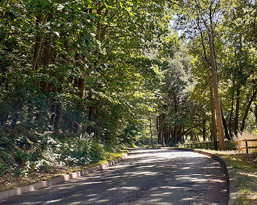
A HIKER’S PARADISE
There is no need to go too far from Paris to stretch your legs and enjoy the richness of nature
Through this natural site, several hiking routes allow you to walk along the Bièvre River while crossing forests, fields and city centers. Picturesque and authentic landscapes will amaze you. Beautiful photos in perspective!
You will find routes adapted to your level, marked out, more or less difficult and of variable distance. Some of them can be completed in several stages thanks to the many stations along the way.
You will find in our store :
- The guidebook “La vallée de la Bièvre… à pied” (The Bièvre valley… on foot), published by the French Federation of Hiking of Ile-de-France, which is attached to the GR 11 and GR 22.
- The topoguide “Les Yvelines… à pied”, published by the Fédération Française de randonnée pédestre des Yvelines, which proposes loops in the whole department.
- The leaflets “Jouy par monts et par vaux”, published by our tourist office, which will help you discover the varied landscapes of Jouy-en-Josas and the surrounding area.
- Other itineraries joining the plain of Versailles.
Don’t hesitate to take a relaxing break during your walk, the restaurants and accommodation providers (hotels and guest houses) will be delighted to welcome you.
A reminder: white and red markings refer to a long distance hiking trail (here, the GR 11 or the GR 22), red and yellow markings refer to a long distance hiking trail (here, the green belt of Ile-de-France, which connects the remarkable green spaces close to Paris), yellow markings only refer to a short distance hiking trail.
Before setting out on your adventure, do some scouting, gather all the information about the itinerary, check the weather and take good walking shoes and a bottle of water.
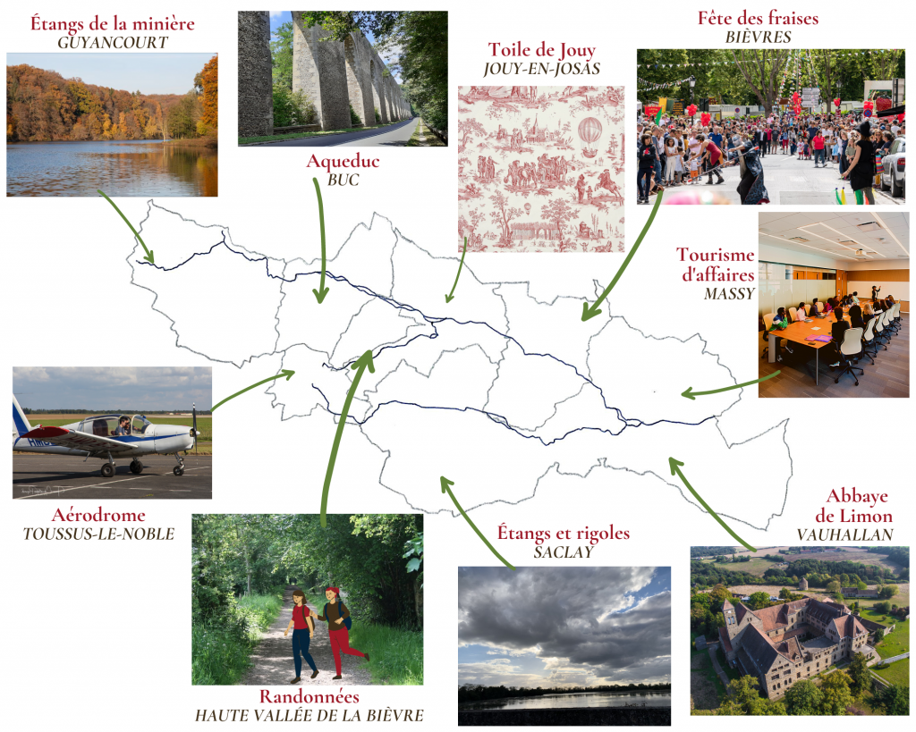
The must-see places in the valley